Relatively brief but intense (inland) heatwave this week, then fairly quiescent conditions for 1-2 weeks thereafter
May and June so far: Cool and damp North Coast, but very dry and windy everywhere else
The past month or so have brought a series of late-season weather systems to Northern California–including the latest just this past week, which brought a pretty substantial soaking rainfall to the North Coast and northern mountains (and some lighter showers as far south as the SF Bay Area and I-80 corridor). Meanwhile, the southern 2/3 of California have been almost completely dry during this period (including the Southern Sierra, where some places had their driest May on record).
May (and, especially, June) are not typically very wet months anywhere in California–but the “haves” and “have nots” of this recent precipitation distribution have created some pretty stark contrasts between the northwestern corner of the state vs the rest of California. May and June so far have been notably cool along the North Coast–one of the cooler such periods on record. It has also been wetter than usual in that part of the state during this period, and that combination has kept vegetation unusually green there now well into June. But even just 75 miles inland, it has generally been quite a different story–with frequent hot and dry north wind events ratcheting up vegetation drying and fire risk in the Central Valley and adjacent foothills. The resulting gradient between NW CA–where vegetation moisture levels are actually *above average* and the interior of central and southern CA (where vegetation moisture levels are near/exceeding *record dry* levels in some spots) is therefore pretty remarkable.
Recent precipitation up north has definitely tamped down fire risk in the short term, and in some spots probably for the rest of June (in places that have seen more than an inch or so in recent days). That is good news, especially given that some of these spots had been expected to see an early start to fire season (but will now probably see milder than usual conditions for the next few weeks). But across most of the rest of the state, vegetation and wildfire conditions are already running 1-2 months ahead of schedule. Here, I would expect June and early July to continue to feature above average fire activity. And in the northern spots that have seen some extra moisture lately, expected unusually hot conditions later this summer will very likely still dry thing out enough to bring about a more intense than average back half and peak of fire season (the prolonged grass/brush growing season, combined with projected anomalous mid-late summer heat, could actually “add more fuel to the fire” by increasing fine fuel loading). Meanwhile, Sierra Nevada snowpack is essentially gone now (except for a tiny bit in the northern reaches), so soil drying at higher elevations will now proceed in earnest.
To sum it all up: recent cool and damp conditions along the North Coast and northern mountains will give that part of the state a fire season reprieve for at least a few more weeks. But there will be no such reprieve elsewhere, and even far NorCal will probably still see substantially above-average fire conditions later this season.
Fri-Sat heatwave: Interior CA/Central Valley focus, with record warm overnight temps (but coast stays mild)
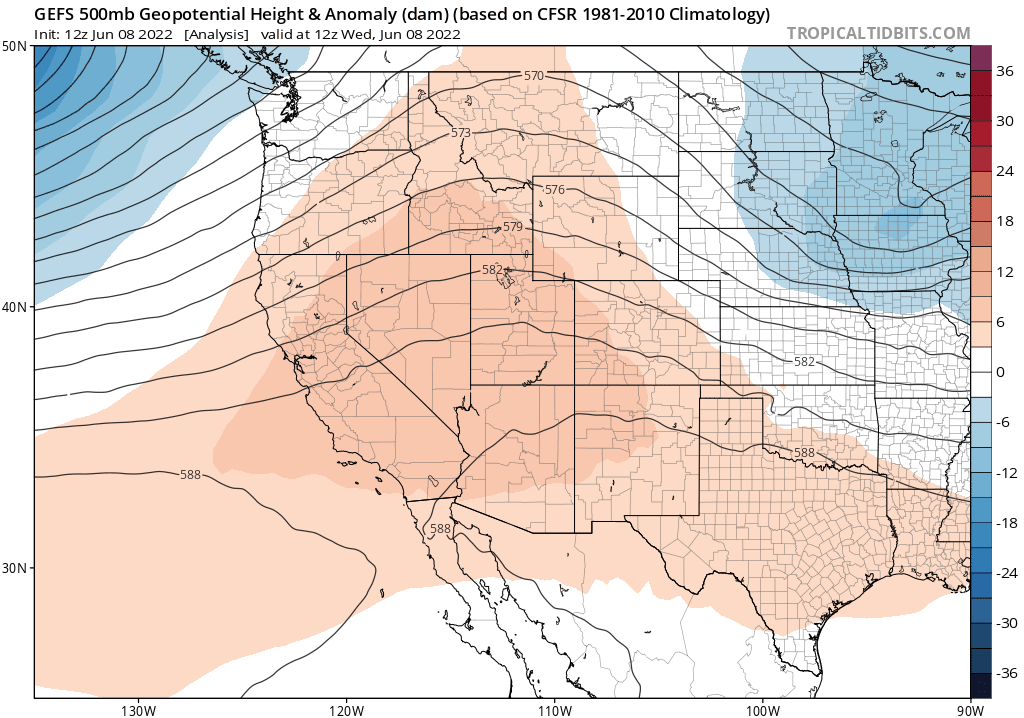
There has been much buzz on social media regarding an upcoming California heatwave. And while there is indeed a substantial one coming later this week–at least to some parts of California–it will not be the Earth-shattering event portrayed in a handful of viral web posts. In fact, the ensemble average magnitude and duration of this event has been slowly but steadily trending downward since it first appeared about 2 weeks in advance (although that’s still a pretty solid predictive signal, if you ask me!).
This heatwave will be somewhat typical of early season events in that it will primarily affect the interior 2/3 of California–excluding most coastal areas from significant heat (although there will be a pretty sharp west-east temperature gradient). It will be somewhat less typical of California heatwaves in that it will bringing very warm overnight temperatures on multiple consecutive nights, with overnight lows perhaps staying in the 70s on two consecutive nights throughout much of the Central Valley. Although Friday will possibly also bring some daily record high temperatures for mid-June (in the 105-110F range across the Central Valley), this heatwave will be more notable for the very poor overnight temperature recoveries that will occur–yielding greater human health impacts than the hot daytime temperatures alone might bring. In addition to this, recent precipitation in parts of NorCal may bring elevated surface dewpoints during the first half of the event–helping to bring “muggier” than usual conditions during at least part of this event and further amplify how hot it will actually feel. (Drier north winds may develop toward the end of this event, likely dissipating any accumulated mugginess.) Excessive heat watches and advisories are in effect from the NWS the rest of the southwest in the coming days, as locally record-breaking temperatures will be common throughout the Southwest during this period.
All of that said, this heatwave does not appear likely to have nearly the long duration as had initially been suggested by the ensembles–so the heat will probably break pretty definitively later this weekend (though may return briefly again next week to a lesser degree). But it certainly will feel quite hot in contrast to the recent cool and damp conditions up north.
After the heatwave: a fairly progressive summer pattern, with (mercifully!) unremarkable weather
The good news, following the upcoming short but sharp inland heatwave, is that it appears likely that the West Coast will continue to experience a fairly progressive pattern over the next couple of weeks–with relatively weak pattern persistence, and periodic alternation between ridging and troughing. Although none of these systems appears strong enough to produce widespread wetting rainfall in California (though a few light showers may once again be possible in far NorCal), they will be enough to bring some clouds, wind, and onshore flow across much of the state periodically. Temperatures will oscillate between moderately above and moderately below average over the next couple of weeks, so after this week’s event I don’t see any additional major heat events on the immediate horizon. Hopefully this stretch of relatively quiescent weather will persist longer than that–although all available signs continue to point to a much more active second half of summer/early autumn from a heatwave and fire weather perspective. So enjoy it while it lasts!
Some recent cloudscapes from the High Plains
I’m increasingly trying to work in some weather imagery not directly related to the focal content in new Weather West posts. To that end, I’m sharing some photographs I took yesterday of supercell thunderstorms on the High Plains of far eastern Colorado. You can see some additional cloudscapes if you view the entire thread on Twitter. Enjoy!