A warm, dry (and windy, for some) Thanksgiving in California, but a pattern shift in early Dec?
A notably cool month in California and the West
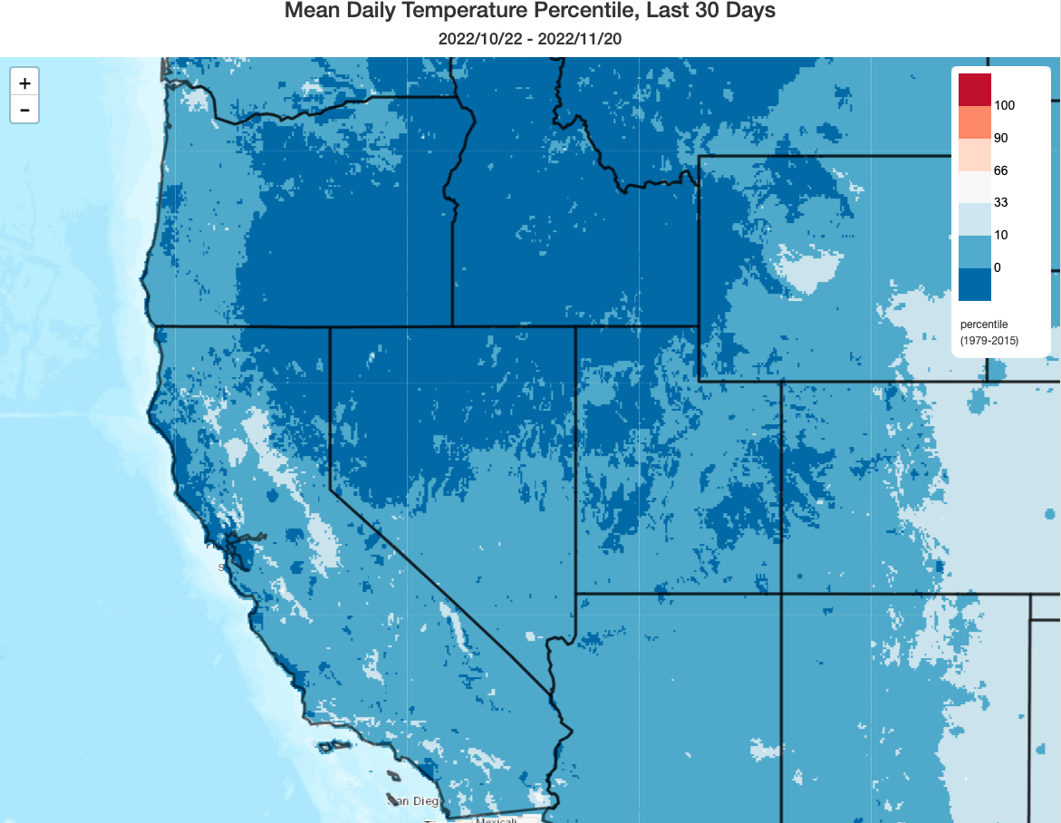
This is the first time I’ve been able to say this in quite a while: the past 30 days have been a remarkably cool to cold period across essentially all of the American West, including California. In fact, in some places, the past ~30 days or so have been among the coldest such mid-Oct to mid-Nov periods in the past 40 years! (We’ve become so accustomed to record heat in this part of the world that any widespread, sustained period of unusually cold weather feels all the more notable.) These unusually cool temperatures have coincided with a relatively active weather regime for most of the period, with healthy early season snow accumulations in many mountain areas across the West.
Overall precipitation over the past 60 days in California has exhibited a mild dipole pattern: somewhat below average precipitation in northern CA, near average precipitation in central CA, and somewhat above average precipitation in southern CA. This is nearly the opposite of the spatial footprint one might typically expect during La Nina–but I strongly believe this dipole will look very different a couple of months from now (read more in below sections). At the moment, however, essentially all of California has at least seen meaningful precipitation so far this season.
Warm and dry Thanksgiving week across most/all of CA (with Santa Ana winds down south)
The weather this Thanksgiving week will be, quite frankly, pretty fantastic across most or all of California: warm and dry, with temperatures at lower elevations well into the 60s in NorCal and perhaps even into the low 80s in SoCal. Things are looking pretty good for travel, outdoor gatherings, and the like.
The only concern will be the potential for Santa Ana winds in SoCal, which could become quite strong and gusty at times in the usual spots–leading to elevated and perhaps even locally critical fire weather conditions (exact temporal window TBD). Although all of California has received widespread soaking rainfall over the past two months, the recent drier pattern in SoCal along repeated low humidity/strong wind conditions has dried out fuels down south just enough to potentially support large fire growth under Santa Ana wind conditions. So while fire weather risk will probably not be extreme, it will definitely be elevated in SoCal (but probably not in any meaningful sense anywhere else in the state, where vegetation remains reasonably damp and green-up is now well underway).
Hints of a wetter pattern by early December, but uncertainty still pretty high
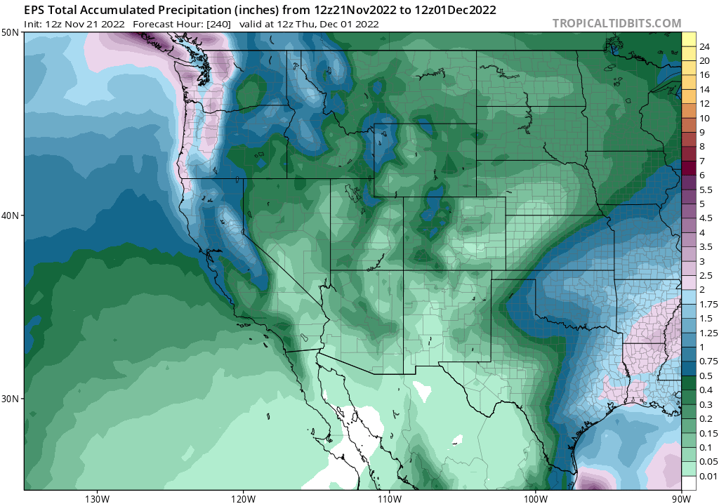
The good news? A return to more seasonable wetter and cooler conditions may occur sooner rather than later. There have been hints for a while now of a possible shift back toward a more active pattern in California around early December. While it certainly doesn’t appear dramatic at the moment, multi-model ensembles continue to suggest a reasonable shot at more substantial lowland rain and mountain snowfall again around Dec 1.
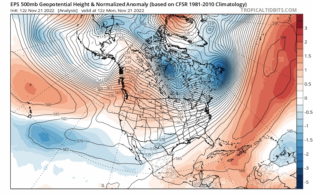
The tricky part? It’ll all depend on the exact position of the northeastern Pacific ridge axis (sound familiar? Read more below.). If it’s too far east, we’ll continue to see more mostly/completely dry inside sliders–with cool temps, but little rain/snow and possibly offshore wind events. If it’s just far enough west, CA could see another round of cold “outside sliders”–offshore low pressure systems that dive southward just off the coast but nevertheless retain just enough moisture to deliver healthy mountain snowfall and rain elsewhere. The ensembles are, at the moment, a bit divided as to which scenario will win out for early December. So, for now, I’m reasonably optimistic that California will get wet again in early December–but there’s certainly no indication of any blockbuster storms at the moment.
More thoughts on the peak of the rainy season to come…and beyond.
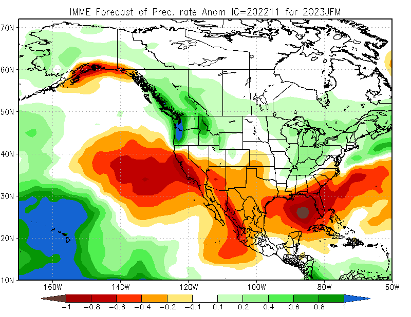
Long story short: La Niña’s still chugging along in the eastern tropical Pacific Ocean, and the tropical West Pacific’s still really warm. That’s a pattern that, as discussed in many previous posts, favors the persistence of Northeastern Pacific ridging during winter–and this winter will likely be no exception. The exact placement of that ridge axis dictates whether California ends up warm and dry near the central ridge axis, or cool and relatively wet just far enough east of the ridge axis to see frequent cold storms diving southward from the Gulf of Alaska and western Canada. Right now, the seasonal models continue to suggest that the ridge is likely to set up in a position that keeps most or all of California–along with much of the Lower Colorado River basin–drier than average during the Dec-Mar peak of the rainy season, and into the spring thereafter. This is true of both the American and international seasonal model suites at this time (including the ECMWF), so there is relatively higher confidence that this outcome will come to fruition (despite a pretty decent start to the season through mid-Nov in many of the same areas). So I don’t expect recent performance to be a predictor of future conditions this winter across California, in all likelihood.
And, for a couple of reasons, I’m willing to entertain some preliminary discussion of what might come after this winter/spring: I think there’s a pretty good chance of El Niño making a long-awaited return in 2023. First, from a basic theoretical/physical perspective: the Pacific Ocean system has spent an awful lot of time in a persistent La Niña state over the past decade (including 3 consecutive La Niña years as of 2022–a very rare event historically). A whole lot of anomalously warm water has been subducted into the ocean subsurface in the West Pacific, and eventually some of that is going to reemerge when trade winds slacken and that water mass sloshes eastward (quite literally, in fact: during La Niña, the Pacific Ocean surface slopes downward from west to east, but that gradient relaxes or sometimes even levels out entirely during El Niño). To the extent that ENSO (the El Niño-Southern Oscillation) can be viewed as a “spring oscillator” like coupled ocean-atmosphere system, the spring has been pulled back quite far in one direction, and eventually will release.
And there is now also some dynamical model support for this: several flagship global models are predicting the rapid emergence of El Niño during late spring and summer 2023. I would even go out on a limb and say that there’s probably a higher than usual chance of a moderate to strong El Niño event by next autumn (but that is, decidedly, a shaky limb). It’s still far too early to discuss details, or potential impacts–I’m merely offering some informal thoughts here. But it also serves as a reminder that the very dry conditions that much of California has become accustomed to in recent years won’t persist forever.
And now for something…completely different
Please forgive the un-editable auto-correct pluralization typo. But otherwise, enjoy!