Heat and possibly some dry lightning in NorCal to ring in autumn
A summer of unrelenting heat (if you’re inland or at elevation) or of…quite mild conditions, if you’re along the coast
It was a Tale of Two Summers this year in California: a blisteringly and unrelentingly hot summer if you resided inland and/or (especially) at a higher elevation, and a “remarkably unremarkable” and mild one if you lived close to the coast. This pattern of striking contrasts lasted straight from June through August, and strongly contributed to the explosion of wildfire activity across forested portions of northern California in recent months. 2021 will likely hold the paradoxical title of “hottest on record” for California despite the fact that the vast majority of CA residents did not even experience a top-10 hottest summer–a consequence of the persistent marine layer near the highly populated coastal strip vs. the unrelenting heatwaves that pervaded most areas more than 10-20 miles from the coast and above ~2,000 feet in elevation.
Yet another heatwave is currently baking inland areas, with widespread triple digit temperatures once again. This latest heatwave is more characteristic of an autumn event, with warmer temperatures extending into coastal valleys and a less extreme temperature differential between coastal and inland areas. This ongoing heatwave will persist for a couple more days before fading–and will very likely break multiple Central Valley records for the most cumulative 100+ degree days in a single year before it’s over.
Substantial risk of (possibly dry) NorCal lightning Thurs/Fri
Well…sigh. Here we are again: another dry lightning threat in (mainly northern) California. The models had looked pretty ho-hum regarding this week’s potential event until yesterday, but today’s runs are trending in a direction of substantially increased risk. In fact, today’s latest couple of model cycles are starting to depict what appears to be the classic set-up for an autumn lightning event in northern California.
What are the key ingredients? Well, a weak offshore trough (with a weak low trying to close off near the base) will slowly approach the CA coast on Thursday afternoon. As it does so, it will entrain a fair bit of mid-level subtropical moisture. There will even be some weak upper-level divergence on the northeastern side of this weak low pressure area as well as a weak (but initially dry) cold front. All of this put together means there could be a pretty substantial combination of atmospheric instability, mesoscale vertical lift, and mid-level moisture–everything that is needed for high-based/elevated convection. The models are currently indicating that some *very* light showers will be possible (most likely a trace to 0.05 inches), but that a pretty widespread lightning event may accompany these sprinkles. Unfortunately, that raises the specter of dry lightning across much of NorCal (from about the Monterey Bay Area northward into southern Oregon, and including all coastal/mountain/valley areas). The greatest risk will be overnight Thursday into Friday AM, so a nocturnal lightning event appears most likely if one occurs.
This will obviously be of great concern from a fire weather perspective, given the ongoing very severe wildfire situation in NorCal and southern Oregon, record-dry vegetation conditions in many areas, and extreme resource drawdown due to the existing fire situation. There is always “bust potential” with dry lightning events in CA, and the two possible events earlier this summer did just that: they largely failed to materialize. But this one has somewhat lower “bust potential” than the earlier two, as in this case the weak low pressure system and mesoscale lift will provide a clearer focal point for triggering some elevated convection compared to the unstable but forcing-less non-events earlier this year. Additionally, with an “inverted-V” signature apparent in model-derived soundings–characteristic of a dry environment favoring strong downdraft winds with any thunderstorms that develop–things could get dicey indeed on existing firelines.
There will an increased chance of SoCal thunderstorms, as well, but these will most likely be confined to the more typical mountain thunderstorm zones outside of the coastal strip and will stand a better chance of bringing measurable showers than their NorCal counterparts, so pose somewhat lesser fire weather concerns.
All in all: my fingers remain tightly crossed that this either falls apart or fails to generate numerous lightning strikes (bringing only sprinkles and good cloud watching! That would be nice.). However, there is a real risk of new lightning ignitions across a fairly broad portion of NorCal and southern Oregon later this week. I’ll continue to update on Twitter as the potential event draws closer.
Hints of fall–and its mixed blessings–in the long range
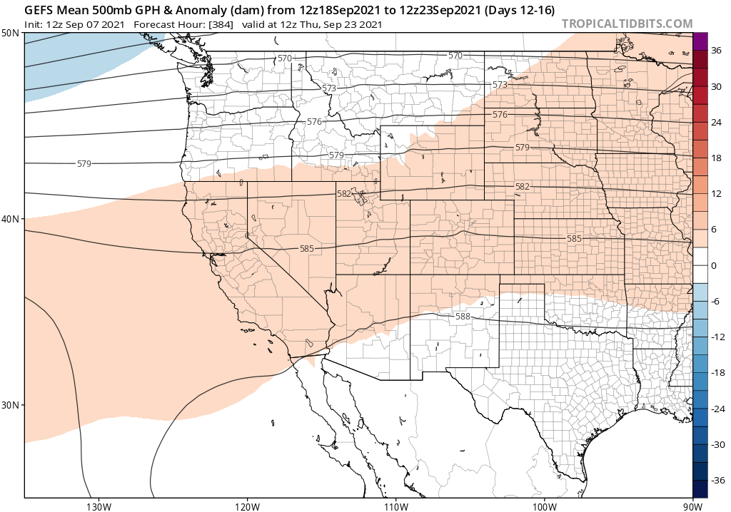
In the longer range, there is (for now, at least) mercifully little extreme weather to discuss. Models continue to point to warmer-than-average temperatures across most of California, but not to any extreme heatwaves during the next couple of weeks. There have been a few hints that a weak to moderate north wind event could materialize in this time frame in NorCal, but that would not be especially unusual for mid-late Sept and I don’t currently foresee anything severe (though even fairly modest events would pose fire weather concerns given the amount of fire already on the ground).

Heat and possibly some dry lightning in NorCal to ring in autumn Read More »