Some September rain for parts of Northern California, but no sign of a wet fall
Recent weather recap
While the weather in Northern California has been relatively unremarkable over the past couple of weeks, this was definitely not the case in Southern California. One of the most intense heatwaves in recent memory baked the Southland for an extended period of time, and was accompanied a impressively humid airmass (it certainly didn’t resemble California’s typical “dry heat”). Numerous daily temperature records were broken over the course of this warm spell, new wildfires broke out, and Southern California broke its all-time energy consumption record due to the added burden from cooling appliances.

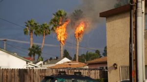
Partly driven by this record heat were widespread mountain and desert thunderstorms in the southern part of the state, which brought localized flash flooding. A handful of much more unusual (but highly localized) convective events also affected coastal and valley regions in certain parts of California. One of these was the rather spectacular thunderstorm in the San Diego area on September 16, which occurred in conjunction with remnant moisture from former East Pacific Hurricane Odile. These localized (but very intense) storms brought significant wind damage, exploding palm trees, and a torrential mid-afternoon downpour to downtown San Diego. Another somewhat surprising thunderstorm outbreak occurred this past weekend over the Southern Sacramento Valley and Northern San Joaquin Valley and adjacent foothills, but precipitation in this case was quite light and impacts were mostly limited to a pretty lightning display and a few (fortunately small) wildfire starts.
Rain headed for Northern California, but…
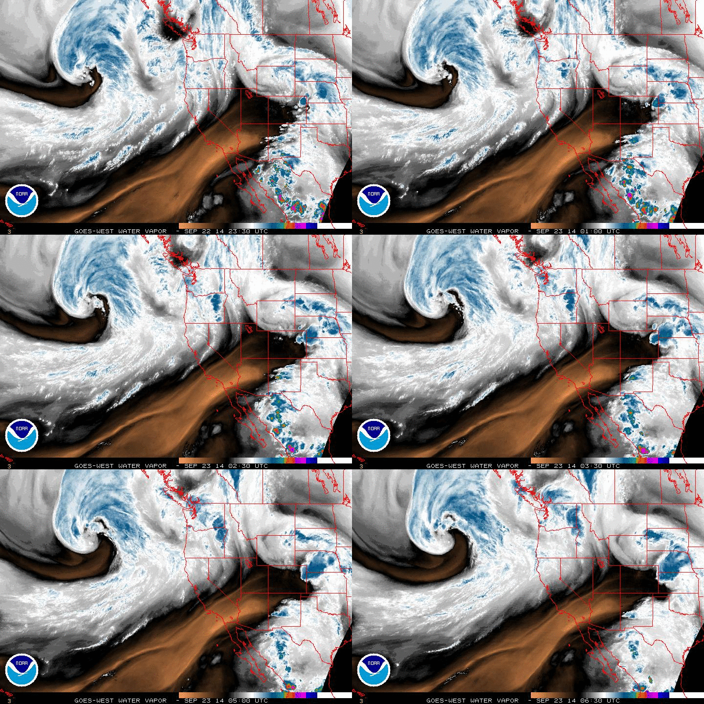
A fairly deep trough (for this time of year) is currently approaching California from the northwest. A deep surface low tied to this trough is producing heavy precipitation and powerful winds over the open ocean, but is expected to weaken considerably and move well to the north of California before making landfall. The trailing front will nonetheless be quite moist, and may be capable of producing substantial, soaking precipitation of up to 1-2 inches along the North Coast. Because the front will be weakening rapidly as it moves southeastward across the state, however, precipitation totals elsewhere will be drastically less than on the North Coast, tapering quickly to around a tenth of an inch along the I-80 corridor (including Sacramento and San Francisco). Thus…while most of the major population centers in NorCal will probably see some raindrops out of this, significant precipitation away from the North Coast is unlikely.

Unfortunately, substantial precipitation is also unlikely in the vicinity of the King Fire, which has burned nearly 100,000 acres of thickly forested land between I-80 and US-50 on the western slope of the Sierra Nevada. Additionally, strong southerly winds in advance of the cold front tomorrow and early Wednesday will lead to extreme fire danger and the risk of rapid fire spread once again (a Red Flag Warning is now in effect). While light precipitation on Wednesday/Thursday will help to temporarily reduce fire danger, the forests of NorCal are so dry that gains from such light precipitation are unlikely to last more than a few days.
No wet fall on the horizon

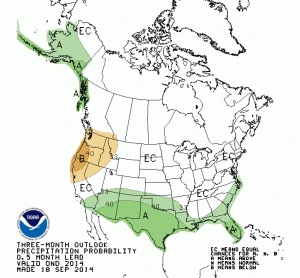
Numerical models suggest that a dry pattern will return to all of California by late this weekend and probably continue through the first week in October. Dynamical and statistical models currently now suggest a modest signal for a drier-than-average fall, especially in Northern California. Consistent with this, the newly-updated September-November precipitation outlook from the Climate Prediction Center calls for an increased chance of below-normal precipitation. Of course, what happens in the fall months does not necessarily have any bearing on what happens closer to the peak of the rainy season (during January-March)–and at least a couple of the seasonal forecast models currently foresee fairly wet conditions for the middle of winter. Again, though, as I’ve emphasized before: seasonal forecasts for California precipitation are not particularly good (skillful) out beyond a couple of months, so for now we’ll just have to wait and see.
“The Blob Abides;” El Niño still trying to gain foothold
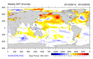
The region of exceptional, record-breaking ocean warmth in the northeastern Pacific Ocean that has been in place now for over a year continues to be a prominent feature. “The Blob,” as it has come to be called, does appear to be linked (in one way or another) to the Ridiculously Resilient Ridge. As long as this region of extremely warm water remains in place, the risk of enhanced West Coast ridging will probably remain elevated. This is possibly one of the reasons why coupled model simulations are projecting a relatively dry fall across Northern California.

At the same time, El Niño conditions are still percolating in the Pacific. The most recent Kelvin wave continues to propagate eastward across the Pacific basin, and will probably enhance SST anomalies once it reaches the West Coast of South America. Coupled models are still calling for the likely emergence of a weak El Niño event this winter (or, less likely, a moderate one). The warm equatorial SSTs that define El Niño may interact in unusual ways with the record-warm North Pacific this winter, so possible atmospheric teleconnections (and implications for California rainfall) are not entirely clear at this point. However, it does now appear that the kind of “slam-dunk”, powerful El Niño event that might have given us high confidence in a wet winter is simply not in the cards.
Stay tuned for an upcoming comprehensive California Weather Blog post on the California drought and the Ridiculously Resilient Ridge, which will be posted on September 29th!
© 2014 WEATHER WEST
Some September rain for parts of Northern California, but no sign of a wet fall Read More »