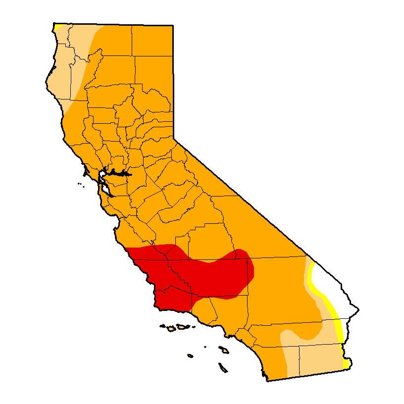
Prospects for a wet November are dashed; exceptionally dry conditions continue in California
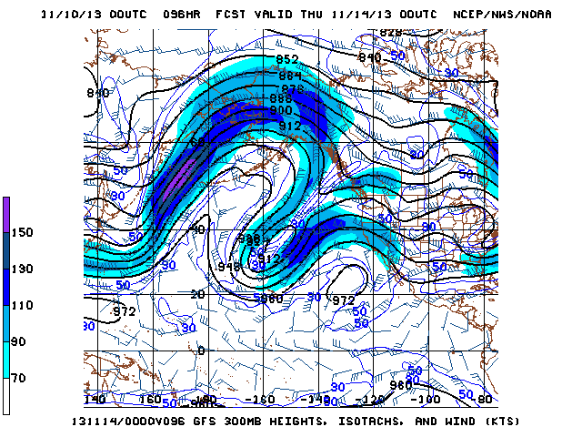
For a little while last week, numerical model forecasts were suggesting a very strong possibility of significant rainfall and storminess along the West Coast of North America, including California, beginning late this weekend. This projected major pattern change was driven by a high-amplitude flow pattern over the Central Pacific, which would have allowed a deep longwave trough to develop off of the West Coast and for a series of strong, moist storm systems to move inland at a relatively low latitude. This would have brought meaningful, perhaps heavy precipitation to regions desperately in need of rainfall after an increasingly long and intense dry spell.

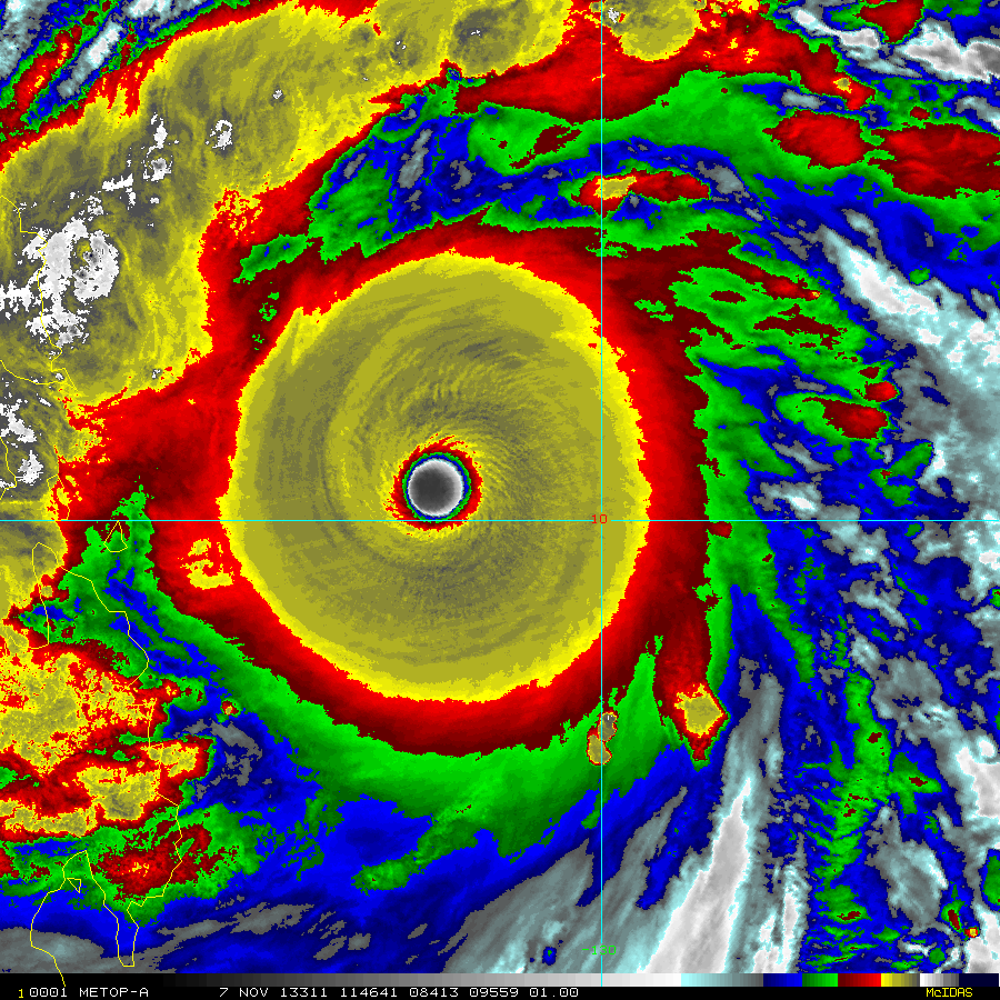
Unfortunately, this pattern change that was projected last week has not come to pass. The high-amplitude flow pattern is, as previously predicted, developing in the Central/West Pacific, but the downstream trough near the West Coast has not materialized, and has instead been replaced by fairly strong ridging that will effectively prevent significant storm systems from reaching California for at least the next 7-10 days. It is not entirely clear why the models–which were exhibiting near unanimity in their wet forecasts just 5-7 days ago–changed their tune so dramatically. I suspect that former Super Typhoon Haiyan, which made a devastating landfall on Friday in the Philippines as one of most powerful tropical cyclones ever measured, may be a partial factor in this evolution. West Pacific tropical cyclones often affect the flow pattern over the entire Pacific basin during the fall months as they decay into extratropical remnants and inject considerable amounts of energy into the Westerlies, sometimes resulting in unusually intense storm activity along the West Coast of North America. In this case, it appears that the energy from Haiyan may be acting to further amplify the central/western Pacific blocking ridge, leaving California too far downstream to benefit from the longwave trough.

Short-term prospects for California rain are rather dim. Light rain could fall early this week in coastal NorCal as a rapidly decaying cold front brushes the state, but after that the pattern will become even more dry and stable as the East Pacific ridge rebuilds overhead. At the moment, I don’t see any obvious triggers to dislodge this impressively persistent ridge that has stuck around for the better part of two years. We have reached the point where another dry winter will be seriously problematic from a human hydrological standpoint: while reservoir levels for much of the current calendar year were bolstered by the exceptionally heavy (if fleeting) rains last November, storage levels in many of the state’s major reservoirs are rapidly falling as demand for water continues at above average levels and inflows continue to decrease due to the already-late start to the rainy season.

As always, it’s important to keep in mind that the annual precipitation in this part of the world is almost always driven by just a handful of large precipitation events during the cool season, so we’re never more than a few big storms away from a much better water storage situation. On the other hand, we have now reached the point where there will probably be trouble next year if those few big storms never materialize this winter.
Stay tuned.
© 2013 WEATHER WEST