Quick-hitting but potent cold storm for California
After a remarkably quiescent period for all of January and much of February thus far, a brief interlude of active weather this week will being an assortment of unusual and notable weather conditions to a majority of the state.

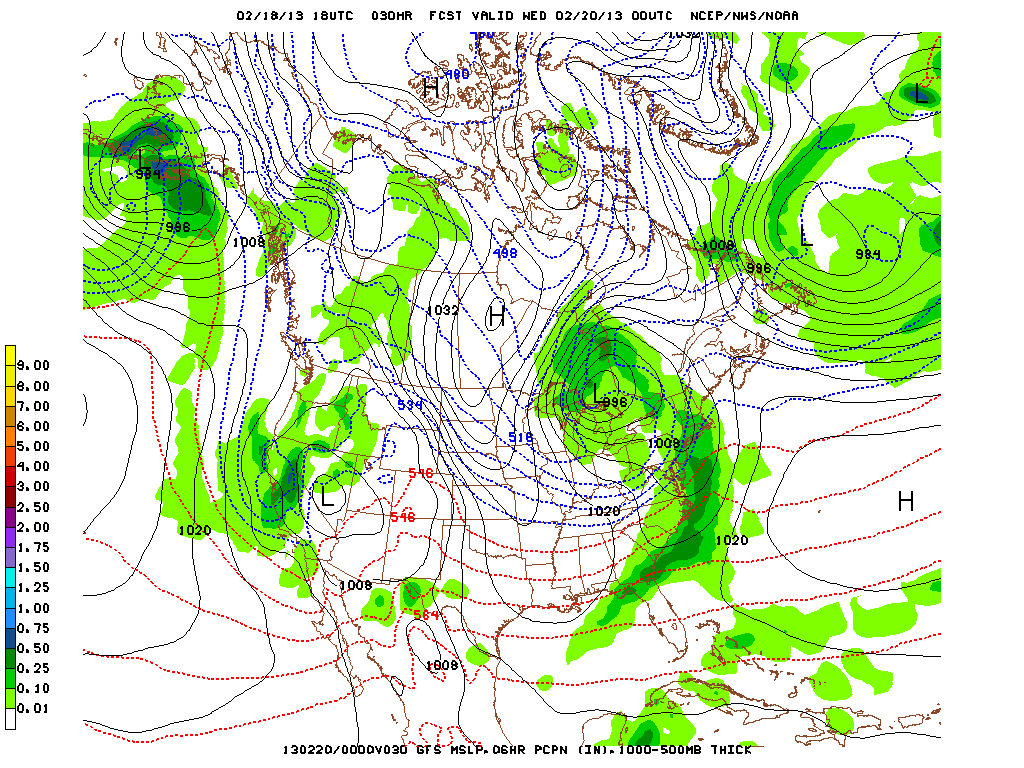
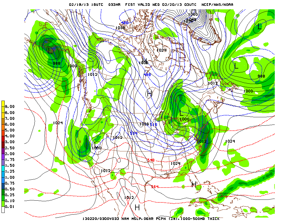
A small but very cold low is currently dropping southward off the U.S. Pacific coast and will arrive in NorCal by Tuesday morning. This system is fairly moisture-starved but does have over-water trajectory so it appears there is sufficient moisture in this case to allow for significant convective activity in the presence of very steep lapse rates and some dynamic lift as the primary frontal band moves through. All the models have recently trended somewhat colder with what was already expected to be a pretty cold system, with 850 mb temps now progged to get down below -5 C over parts of NorCal and probably as low as -3 C in SoCal. With 500 mb temps in the -30s C, snow levels could actually be quite low, especially given the potential for some stronger convective downdrafts. Also worth noting is that the cold air actually precedes the onset of precipitation, which is pretty unusual for a system of this type. As a result, a larger fraction of total precipitation than usual will probably fall as snow at low elevations. I would expect snow to fall as low as 1500 feet potentially as far south as the Los Angeles area, and convective showers could bring some flakes to even lower elevations (especially in NorCal). I also anticipate the possibility of some pretty significant snow accumulations between 2000-3000 feet in many areas given the unusual cold air/precip phasing.

Convective activity could be fairly impressive with this system, as well. Very cold mid-level temperatures will be highly conducive to small hail (and possibly accumulations), and low-topped cells are likely to contain lightning. Severe weather potential seems pretty minimal, but I would not be surprised to see reports of remarkable local hail accumulations in a few spots.
Unfortunately, this system appears to mark only a very brief break in the meteorological monotony as a dry and calm pattern appears likely to reestablish itself by week’s end across the entire state outside of a few North Coast showers. We do need the rain now…and we’re not getting it any time soon.
Please share any photos or videos from the upcoming cold storm on the Weather West Facebook page! Share with your family and friends!
© 2013 WEATHER WEST
Quick-hitting but potent cold storm for California Read More »