Cutoff low to bring thunderstorms, extreme fire weather to much of California
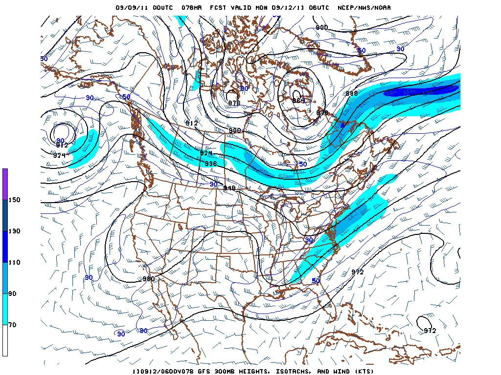
After what has thus far been a remarkably quiet summer in California, a significant and potentially very noticeable pattern change is currently underway. A Rex Block has developed over the far Eastern Pacific and the West Coast over the past day or so, forced (at least in part) by blocking induced by the remnants of Tropical Storm Lee current wreaking havoc in the Eastern states. The upper-level low currently located over northern Nevada will retrograde very slowly over Northern California over the next 24 hours and eventually set up shop off of the Central California coast this weekend, staying nearly stationary until at least early next week. As the low begins to move offshore, counterclockwise circulation will induce southeast and easterly flow over the northern 2/3 of the state, advecting monsoonal moisture into Northern and Central California from the Desert Southwest. Most of this moisture will be at mid and upper-levels, and any convection that develops on Friday or early Saturday will likely contain little or no rain, leading to a potentially widespread threat of dry lightning. By later in the weekend and possibly continuing into early next week, this flow will probably contain enough moisture to result in wetting rains in most thunderstorms as lofted moisture from diurnal storms serves to moisten the lower levels with time.

Not only will there be the threat of dry lightning this weekend, but easterly flow will result in downsloping, offshore winds in the Sierra foothills, Central Valley, and possibly the Bay Area. The triple threat of hot, potentially gusty offshore winds, low surface humidity, and possible dry lightning will probably cause some fire-related problems this weekend. This system also has the potential to bring multiple rounds of lightning to unusual areas, including the Central Valley and the Bay Area. Much of Southern California may miss out on the deep convective activity as it will remain in a pronounced dry slot for much of the event, though some potential for dynamically-forced elevated convection does exist over almost the entire state at some point during the next 5 days.
The numerical models are currently in disagreement regarding the evolution of the pattern after next Monday. It does not appear that this cutoff will be in any hurry to leave, however, and the risk of at least mountain thunderstorms (and possibly elsewhere) may continue straight through the next week. Stay tuned!
© 2011 WEATHER WEST
Cutoff low to bring thunderstorms, extreme fire weather to much of California Read More »